Directions to the boat:
From the Confederation Bridge in Borden-Carleton to St. Peter’s Bay is 109km and will take you approximately 82 minutes to drive. From Borden-Carleton you follow the Trans Canada Highway (Route 1) until you get to Charlottetown. From Charlottetown you follow Highway 2 until you get to St. Peter’s Bay. Take a left at stop sign and then follow the road up the hill. The road will change names to Northside Rd. Continue up Northside Road for 10-15min until you reach the sign for Naufrage Harbour. Take a left onto Harbour Rd and you will arrive at the wharf in a few hundred meters.
From the Confederation Bridge in Borden-Carleton to St. Peter’s Bay is 109km and will take you approximately 82 minutes to drive. From Borden-Carleton you follow the Trans Canada Highway (Route 1) until you get to Charlottetown. From Charlottetown you follow Highway 2 until you get to St. Peter’s Bay. Take a left at stop sign and then follow the road up the hill. The road will change names to Northside Rd. Continue up Northside Road for 10-15min until you reach the sign for Naufrage Harbour. Take a left onto Harbour Rd and you will arrive at the wharf in a few hundred meters.
From the Charlottetown Airport to St. Peter’s Bay is 50km and will take you approximately 37 minutes to drive. From the Airport, head southwest on MacRae Drive towards Norwood Road and turn left at onto St. Peter’s Road. Travel on St. Peter’s Road until you reach St. Peter’s Bay. Take a left at stop sign and then follow the road up the hill. The road will change names to Northside Rd. Continue up Northside Road for 10-15min until you reach the sign for Naufrage Harbour. Take a left onto Harbour Rd and you will arrive at the wharf in a few hundred meters.
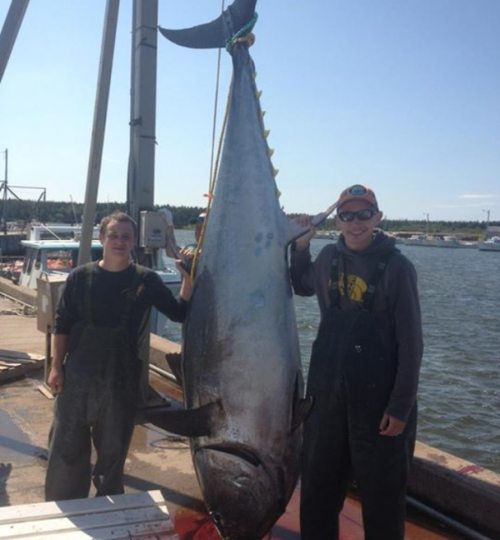
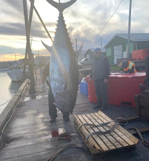
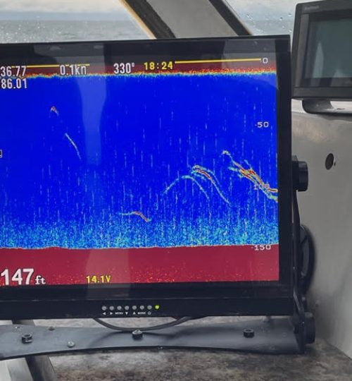
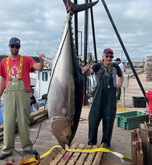
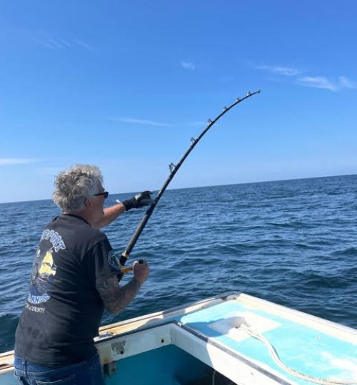
FROM PREVIOUS SEASONS

